RIVIERA MAYA, Quebec — The National Meteorological Service (SMN) held a press conference on Friday regarding the development of a second depression, which was held in collaboration with the National Water Commission (Conagua), part of Mexico’s Ministry of Environment and Natural Resources.
Conagua reported the formation of a second system with the potential to become a cyclone, as predicted by the National Hurricane Center (NOAA).
According to NOAA, “A broad area of low pressure in the southwestern Gulf of Mexico is producing widespread, disruptive showers and thunderstorms. The low is moving slowly in a west-northwest or northwest direction, and environmental conditions appear to be conducive to gradual development of the low, which may develop into a tropical storm before it reaches the northeastern coast of Mexico Sunday night.”
“Regardless of the situation, heavy rains could cause localized flooding in parts of northeastern Mexico and southern Texas over the weekend.”
The second storm formed shortly after the now-decaying Tropical Storm Alberto, bringing more rain to the state.

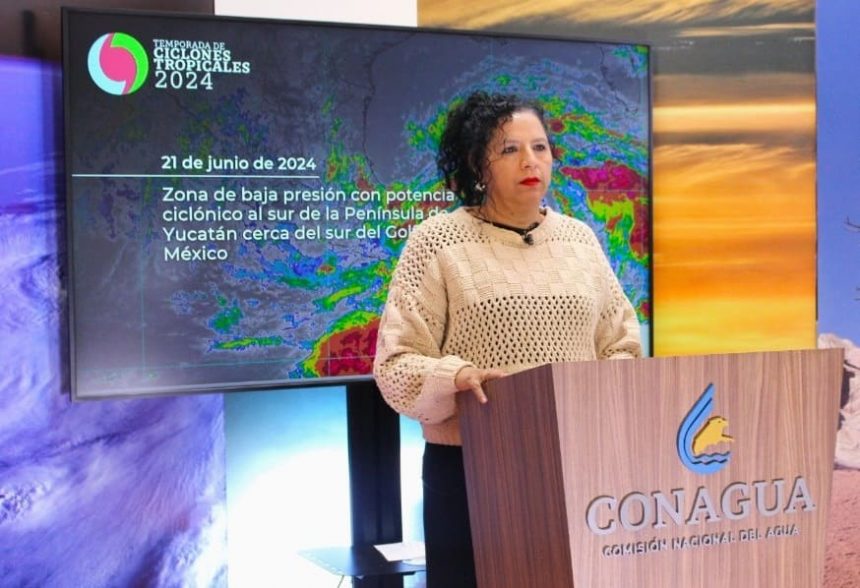
During a joint press conference on Friday, SMN General Coordinator Alejandra Margarita Méndez Girón and Conagua Director General Germán Arturo Martínez Santoyo reported that the low pressure system is located west of Ciudad del Carmen, Campeche state, and is moving west-northwest at about 20 kilometers per hour.
Alejandra Margarita Méndez Giron explained that the interaction of low pressure systems and monsoon troughs has led to increased rainfall in the states of Quintana Roo, Yucatán, Campeche, Tabasco, Veracruz, Oaxaca, Chiapas, Puebla and Hidalgo.

Clouds associated with the system are expected to spread across southeastern Mexico, including the Yucatan Peninsula, and by Saturday afternoon, the center of the system is expected to be located off the coast of north-central Veracruz, with clouds and rain extending into the Yucatan Peninsula.

Quintana Roo Governor Mara Lezama Espinosa said further rains were expected across the state until Monday, with the southern region of Oton P. Blanco particularly expected to be hit again, this time with 50-75 mm of rain expected on Saturday, and another 75-150 mm expected from Sunday to Monday.